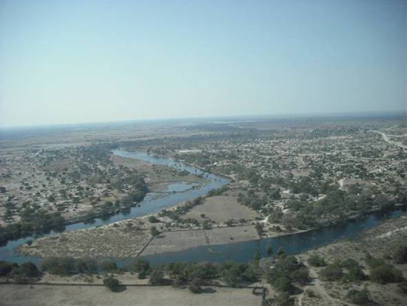
A dramatic aerial picture of the Boteti River at Rakops (Picture: John Allott)
Water levels in main rivers in the Maun, Ngamiland and Central areas have not dropped significantly.
The latest figures (below right) show that this year's flood far exceeds those of the past five years, and is widely regarded as the biggest in at least four decades.
The level of the Thamalakane River has also been rising steadily, according to statistics kept by Disaneng residents who have measure the level for several weeks. At the main Maun bridge near Reilly's Hotel, the level of water continues to increase daily and efforts are now being made by the authorities to channel it away from the bridge in case the pressure causes problems to the structure. Property owners on the bank of the Thamalakane River have complained to the Tawana Land Board that they were allocated property which the Board allegedly knew were on floodplains. Some whose houses have been flooded and other property destroyed say they intend to sue the Board for what they regard as incorrect allocations. The Maun Education Park also remains partially flooded, with animals there moving to higher ground. Aerial pictures of the Boteti River show widespread flooding, with the river possibly reaching Mopipi by this weekend. It will be the first time in 45 years if the water reaches Mopipi and beyond. At Tsau, the Taoge River is also in flood as is the Kunyere River near Toteng. In both instances, water has spread to usually dry streams. Along the Okavango River through the Panhandle, wide stretches of agricultural land have been inundated, with villager s shoring up their homes. The Agriculture ministry has rebuilt the bund which was excavated recently by the Island Safari Lodgeto provide for the natural flow of the Thamalakane.
It is understood that the ministry took the decision after a farmer complained his lands had become inundated as a result of flood water that flowed into and through sand pits.
Source: Ngami Times
