Located here:
Cheers,
Hans
Selfdrive4x4forum.com
Information for self drive 4x4 trips in Namibia, Botswana, South Africa and other Southern African countries.

Answer:How was the old road via the airstrip? Would you recommend it to get from North Gate to Khwai community camp?
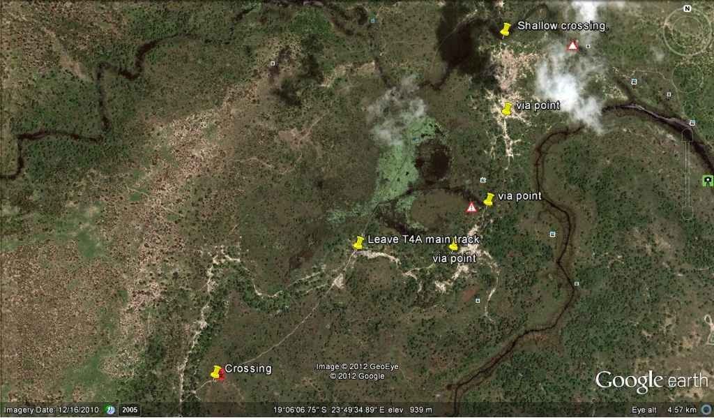
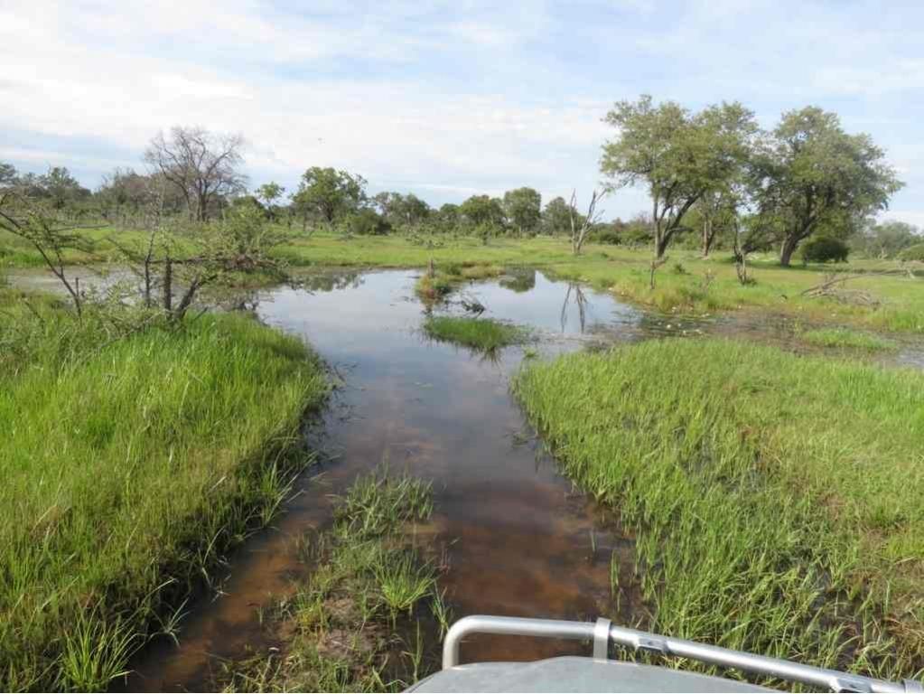
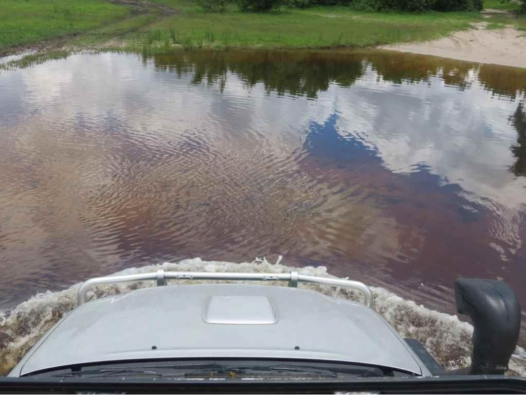
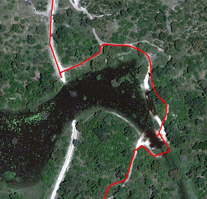
source: Markus NiegtschDid all the crossings allready and am now at Chobe Safari Lodge. There was one deep crossing approx 5 km after North Gate on the detour where the water comes over the bonnet, but also this one was fine

Latest news is that the bridge just north of Khwai that would enable self drivers to avoid this water crossing is not finished & operational yet. Will be checking the situation personally in 4 weeks timecome-along.nl wrote:It's confirmed! New bridge just north of Khwai Village is in use! They are still working on it to finish the job. Hope to receive some pictures soon